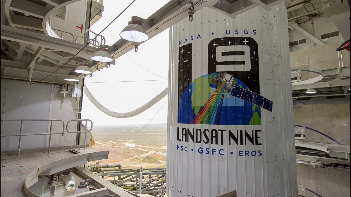
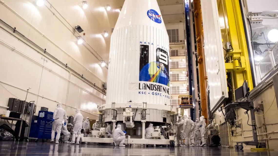
NASA announced its successful launch of a new satellite LANDSAT 9 2:12 p.m. EDT Monday from Vandenberg Space Force Base in California. It aims to be vigilant about the earth’s land surface.
This launch was part of a united effort of the U.S. Geological Survey (USGS) and NASA. The United Launch Alliance Atlas V rocket of the Vandenberg’s Space Launch Complex 3E was used for the lift-off.
Svalbard satellite-monitoring ground station situated in Norway found a signal of the spacecraft after 83 minutes of the launch. “LANDSAT 9 is performing as expected as it travels to its final orbital altitude of 438 miles (ca. 705 km),” it reported.

NASA Administrator Bill Nelson said, “NASA uses the unique assets of our own unprecedented fleet, as well as the instruments of other nations, to study our own planet and its climate systems. With a 50-year data bank to build on, LANDSAT 9 will take this historic and invaluable global program to the next level.
We look forward to working with our partners at the U.S. Geological Survey and the Department of the Interior again on LANDSAT Next because we will never stop advancing our work to understand our planet.”
Deb Haaland, Secretary of the Interior said, “Today’s successful launch is a major milestone in the nearly 50-year joint partnership between USGS and NASA who, for decades, have partnered to collect valuable scientific information and use that data to shape policy with the utmost scientific integrity.
As the impacts of the climate crisis intensify in the United States and across the globe, LANDSAT 9 will provide data and imagery to help make science-based decisions on key issues including water use, wildfire impacts, coral reef degradation, glacier and ice-shelf retreat, and tropical deforestation.”

According to Space.com, the launch was originally scheduled to happen on Sept. 16. The delay has happened because of the requirement of the high supply of oxygen which was going for the treatment of Covid-19 patients.
The company that delivers needed liquid nitrogen to Vandenberg arranged a supply of liquid oxygen instead. Moreover, weather concerns also delayed the launch some more.
According to scientists, LANDSAT is the most economical of satellites in the impactful Earth science program. Data from LANDSAT 8 and LANDSAT 9 will help to monitor the state of forest cover, glaciers, and other elements affecting the climate.

Karen St. Germain, head of NASA’s Earth Science Division, said in a pre-launch briefing, “LANDSAT tells us about the Earth’s vegetation, land use, coastlines, and surface water, just to name a few. When combined with other Earth science missions, that can tell us what is happening and also why.”
Jeff Masek, NASA’s LANDSAT 9 project scientist, said, “We’ve assembled an amazing history of how the planet has changed over the last half-century.
For example, we’re able to see the natural disturbances that occur, (such as) fires, hurricanes, and insect outbreaks, and then the long-term recovery of ecosystems that takes place for decades after that.”
Also Read : The Plastic Waste Crisis Is Not To Be Ignored Amidst The Climate Action Plans, Say Scientists


